Home > Europe > United Kingdom > England > London > Boroughs > Hackney
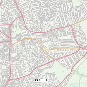
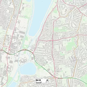
Hackney E9 7 Map

![]()
Wall Art and Photo Gifts from Map Marketing
Hackney E9 7 Map
Postcode Sector Map of Hackney E9 7
Media ID 19970197
Ainsworth Road Albert Close Banbury Road Bluebell Close Booth Close Cherry Tree Close Church Crescent Clarendon Close Derby Road Edenbridge Road Gore Road Hackney Iveagh Close Jackson Close Kenton Road King Edwards Road Lyme Grove Meynell Road Park Close Penshurst Road Pickering Close Poole Road Rutland Road Shore Road Terrace Road Tudor Grove Tudor Road Valentine Road Vicars Close Victoria Park Road Fremont Street South Hackney
FEATURES IN THESE COLLECTIONS
> Animals
> Mammals
> Bovidae
> Goral
> Arts
> Artists
> Q
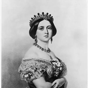
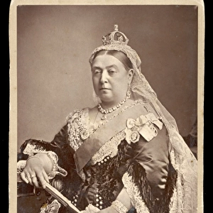
> Queen Victoria Queen Victoria
> Europe
> United Kingdom
> England
> London
> Boroughs
> Hackney
> Europe
> United Kingdom
> England
> London
> Sights
> Victoria Park
> Europe
> United Kingdom
> England
> Rutland
> Related Images
> Map Marketing
> Postcode Sector Maps
> E - London E
> Maps and Charts
> Related Images
> Popular Themes
> Queen Victoria
MADE IN THE USA
Safe Shipping with 30 Day Money Back Guarantee
FREE PERSONALISATION*
We are proud to offer a range of customisation features including Personalised Captions, Color Filters and Picture Zoom Tools
SECURE PAYMENTS
We happily accept a wide range of payment options so you can pay for the things you need in the way that is most convenient for you
* Options may vary by product and licensing agreement. Zoomed Pictures can be adjusted in the Cart.