Home > Europe > United Kingdom > Wales > Powys > Newtown
St. Helens WA10 4 Map

Only Available in the UK and Ireland
![]()
Wall Art and Photo Gifts from Map Marketing
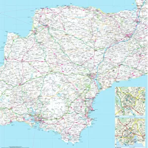
St. Helens WA10 4 Map
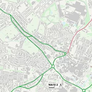
Postcode Sector Map of St. Helens WA10 4
Media ID 19979892
Alpine Close Balfour Street Beaumont Avenue Belmont Street Bradshaw Close Brookside Avenue Cambridge Road Cedar Street Chamberlain Street Constance Street Devon Street Douglas Street Downs Road Drake Street Exeter Street Gladstone Street Grafton Street Grosvenor Road Hazel Grove Helens Holly Close Holme Road Hopkins Close Juniper Close Kelsey Close Kiln Close Kitchener Street Knowsley Road Laurel Road Laurel Way Linden Way Long Meadow Lynn Close Maple Grove Melville Close Mill Brow Mona Street Mulberry Avenue Newtown Poplar Grove Rivington Road Roscoe Street Selby Close Sidney Street St Anns Road St Georges Road St Lukes Road Swallow Court Tamworth Street Thorn Road Trafalgar Street Underhill Road Warwick Street West Park West Park Road Willow Road Windsor Road Rivington Street
FEATURES IN THESE COLLECTIONS
> Animals
> Fishes
> S
> Swallower
> Europe
> United Kingdom
> England
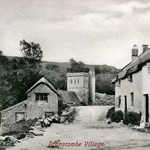
> Devon
> Exeter
> Europe
> United Kingdom
> England
> Devon
> Related Images
> Europe
> United Kingdom
> Wales
> Powys
> Newtown
> Map Marketing
> Postcode Sector Maps
> WA - Warrington
> Map Marketing
> UK Maps
> Maps and Charts
> Related Images
> Popular Themes
> Devon
MADE IN THE UK
Safe Shipping with 30 Day Money Back Guarantee
FREE PERSONALISATION*
We are proud to offer a range of customisation features including Personalised Captions, Color Filters and Picture Zoom Tools
SECURE PAYMENTS
We happily accept a wide range of payment options so you can pay for the things you need in the way that is most convenient for you
* Options may vary by product and licensing agreement. Zoomed Pictures can be adjusted in the Cart.