Home > Europe > United Kingdom > Scotland > Strathclyde > Prestwick
St. Helens WA9 5 Map

![]()
Wall Art and Photo Gifts from Map Marketing
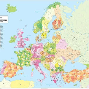
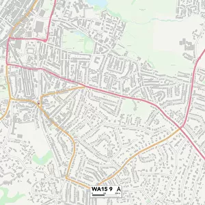
St. Helens WA9 5 Map
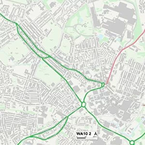
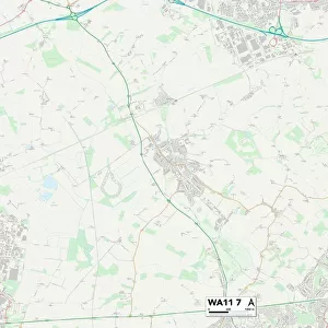
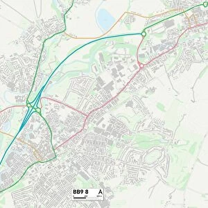
Postcode Sector Map of St. Helens WA9 5
Media ID 19979886
Addison Way Aspen Gardens Beamish Close Beresford Street Bevan Close Booth Street Brisbane Street Brompton Close Cambrian Way Carnarvon Street Cheyne Walk Churchill Gardens Clare Close Crown Street Cypress Gardens Dawn Close Dorothy Street Elmfield Close Emily Street Farringdon Close Field Way Florence Street Fountain Street Gertrude Street Harlow Close Hatfield Close Heath Street Heathfield Avenue Helens Hexham Close Hobart Street Jubilee Gardens Kimberley Avenue Leaside Leicester Street Littleton Close Lowfield Lane Maltby Close Mayfield Avenue Melbourne Street Nursery Road Oakdale Drive Oakfield Close Parliament Street Perth Avenue Prestwick Close Reservoir Street Samuel Street South Street Swan Gardens Tall Trees Trentham Close Tyne Close Upton Close Walnut Grove Washington Close Welwyn Close Wharton Street Wingate Avenue Common Street Foxwood Norton Grove The Broads
FEATURES IN THESE COLLECTIONS
> Animals
> Birds
> Waterfowl
> Ducks
> Mallard
> Animals
> Mammals
> Muridae
> Heath Mouse
> Arts
> Artists
> L
> Samuel Lane
> Europe
> United Kingdom
> Scotland
> Strathclyde
> Prestwick
> Map Marketing
> Postcode Sector Maps
> WA - Warrington
> Map Marketing
> UK Maps
> Maps and Charts
> Related Images
MADE IN THE USA
Safe Shipping with 30 Day Money Back Guarantee
FREE PERSONALISATION*
We are proud to offer a range of customisation features including Personalised Captions, Color Filters and Picture Zoom Tools
SECURE PAYMENTS
We happily accept a wide range of payment options so you can pay for the things you need in the way that is most convenient for you
* Options may vary by product and licensing agreement. Zoomed Pictures can be adjusted in the Cart.