Home > Europe > France > Canton > Landes
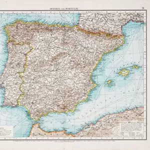
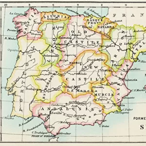
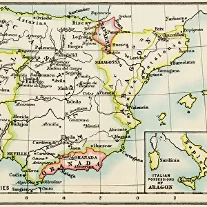
Map of Spain and Portugal

![]()
Wall Art and Photo Gifts from Mary Evans Picture Library
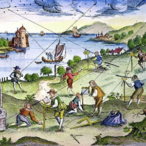
Map of Spain and Portugal
Map of Spain and Portugal, with part of southern France and northern Africa. Date: circa 1801
Mary Evans Picture Library makes available wonderful images created for people to enjoy over the centuries
Media ID 14262704
© Mary Evans / Pharcide
1800s 1801 Atlantic Balearic Biscay Continent Continental Majorca Maps Minorca Portugal Portuguese
FEATURES IN THESE COLLECTIONS
> Africa
> Related Images
> Africa
> South Africa
> Maps
> Africa
> South Africa
> Related Images
> Animals
> Mammals
> Muridae
> Water Mouse
> Arts
> Artists
> O
> Oceanic Oceanic
> Europe
> France
> Canton
> Landes
> Europe
> Portugal
> Related Images
MADE IN THE USA
Safe Shipping with 30 Day Money Back Guarantee
FREE PERSONALISATION*
We are proud to offer a range of customisation features including Personalised Captions, Color Filters and Picture Zoom Tools
SECURE PAYMENTS
We happily accept a wide range of payment options so you can pay for the things you need in the way that is most convenient for you
* Options may vary by product and licensing agreement. Zoomed Pictures can be adjusted in the Cart.